File:Nicolovian provinces.jpg: Difference between revisions
Jump to navigation
Jump to search
Tumultuosus (talk | contribs) Map showing the divison of Nicoloviana into it's constituent Provinces. Picture taken before any building was built nor any road laid. |
(No difference)
|
Latest revision as of 23:23, 12 July 2020
Map showing the divison of Nicoloviana into it's constituent Provinces. Picture taken before any building was built nor any road laid.
File history
Click on a date/time to view the file as it appeared at that time.
| Date/Time | Thumbnail | Dimensions | User | Comment | |
|---|---|---|---|---|---|
| current | 23:23, 12 July 2020 | 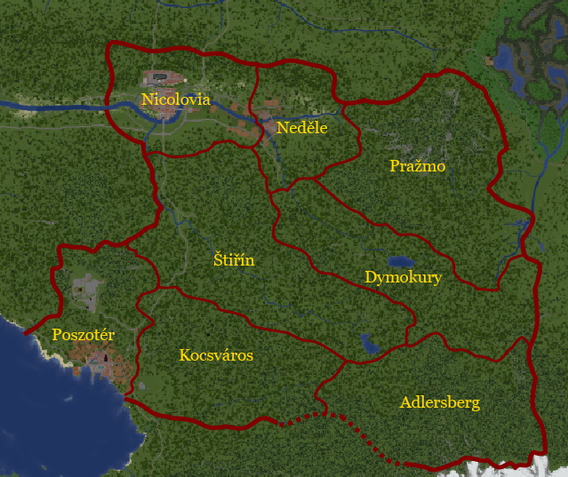 | 640 × 425 (86 KB) | Tumultuosus (talk | contribs) | Map showing the divison of Nicoloviana into it's constituent Provinces. Picture taken before any building was built nor any road laid. |
You cannot overwrite this file.
File usage
The following page uses this file: